Yes, GPS tracking is worth the investment for any mobile billboard campaign. It gives advertisers timestamped location proof that a truck actually ran its route, real-time data to optimize which streets and time windows deliver the most exposure, and the raw numbers that feed attribution and post-campaign reporting. Skip it, and you’re paying for outdoor advertising on faith alone.
TL;DR:
- GPS tracking verifies that trucks follow the contracted routes, with metrics on dwell time in key zones and actual exposure duration inside geofences.
- It prevents fraud by providing timestamped proof, GPS coordinates, and photo evidence, catching fake routes, location mismatches, and backdated reports.
- Real-time telemetry enables dynamic rerouting, targeting high-traffic corridors during optimal time windows for maximum exposure.
- Key KPIs include route compliance, hours in target zones, impressions proxies, and market coverage, which translate GPS data into meaningful campaign insights.
- Proper setup involves pilot testing geofences, enforcing mandatory photo verification, and linking exposure data directly to business outcomes before scaling.
Table of Contents
- What Does GPS Tracking Actually Do for Billboard Campaigns?
- How Does GPS Verification Stop Billboard Ad Fraud?
- How Do You Use GPS Data to Optimize Billboard Routes?
- Which Metrics Actually Matter in GPS Billboard Reporting?
- What’s the Checklist for Adding GPS Tracking to a Campaign?
- How Beacon Mobile Media Puts GPS Verification into Practice
- Where Most GPS Billboard Campaigns Go Wrong
- Ready to Run a GPS-Verified Mobile Billboard Campaign?
- Sources
- FAQ
What Does GPS Tracking Actually Do for Billboard Campaigns?
GPS isn’t a nice add-on for mobile and moving billboard advertising. It’s the operational backbone that turns a truck driving around a city into a measurable media asset. Four jobs matter most:
- Live fleet oversight. Dashboards show exactly where every vehicle is at any moment, so campaign managers can catch problems before a client asks about them.
- Geofencing and time-in-zone tracking. Drawing a digital boundary around a stadium, downtown core, or retail corridor lets you measure how long a truck actually spent inside the zone that matters, not just whether it drove nearby.
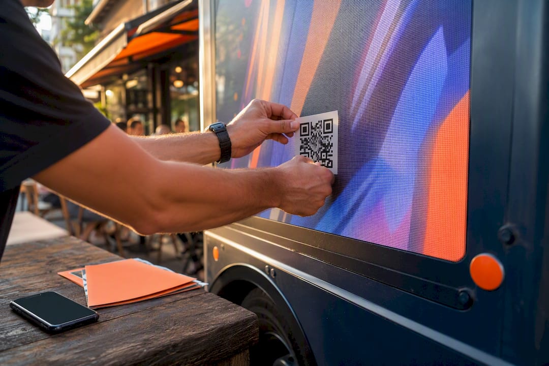
- Proof-of-posting workflows. GPS-tagged photos, timestamps, and QR codes turn “we drove the route” into documented evidence a client can audit.
- Automated alerts. Off-route deviations or unauthorized stops trigger a flag instead of getting buried in a spreadsheet at the end of the month.
GPS-powered advertising lets buyers direct vehicles into high-density corridors during the exact windows their audience is present, rather than running a fixed loop and hoping for the best.
How Does GPS Verification Stop Billboard Ad Fraud?
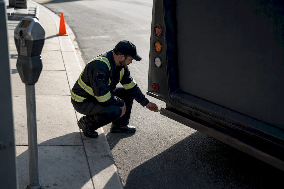
Outdoor advertising has a trust problem that GPS solves directly. A legitimate proof-of-posting record includes GPS coordinates, a timestamp, photos from multiple angles, and a unique QR tag on the ad unit itself. Miss any of those pieces and you’re trusting a vendor’s word.
Three fraud patterns show up constantly in mobile OOH, and each one has a specific GPS countermeasure:
- Fake installs. A vendor reports a route as completed when the truck never left the lot. Timestamped GPS logs cross-checked against reported hours catch this immediately.
- Wrong locations. The vehicle ran, but not where the contract specified. Coordinate history compared against the agreed geofence exposes the gap.
- Backdated reports. Photos get submitted days later with no way to confirm when they were actually taken. GPS-synced photo timestamps close that loophole, a method outdoor campaign platforms increasingly build in as standard.
Pro Tip: Ask any vendor whether their proof-of-posting photos are GPS-timestamped at capture, not just labeled afterward. That single question separates real verification from paperwork.
Automated anomaly detection, flagging a truck that stops moving for six hours mid shift, catches problems while there’s still time to fix them, not after the invoice arrives.
How Do You Use GPS Data to Optimize Billboard Routes?
Route planning used to mean picking streets that felt busy. GPS telemetry, layered with live traffic feeds, replaces guesswork with actual movement data: where congestion clusters, which corridors carry the densest foot and vehicle traffic, and when those patterns shift by hour.
That data feeds three practical decisions:
- Time-window scheduling. Route a truck through a downtown financial district at lunch and a stadium district three hours before kickoff, using ad rotation to match creative to the crowd.
- Dynamic rerouting. If telemetry shows a planned corridor stalled in traffic, the route adjusts in real time instead of burning fuel and ad time sitting still.
- Exposure proxies. Raw location pings tell you where a truck has been, but time-in-zone and stop duration are far better stand ins for actual impressions than distance traveled alone.
A truck that circles a target zone slowly for 40 minutes during an event delivers more exposure than one that speeds through it twice. Route optimization is about maximizing dwell time in the zones that matter, and geofencing paired with mobile OOH makes that dwell time measurable instead of theoretical.
Which Metrics Actually Matter in GPS Billboard Reporting?
Not every number a tracking dashboard spits out deserves a place in a client report. Four KPIs consistently separate useful reporting from noise:
- Route compliance — percentage of the contracted route actually driven.
- Hours in target zone — total dwell time inside geofenced areas that matter to the campaign.
- Impressions proxy — an estimate built from time-in-zone, traffic density, and vehicle speed, not a raw guess.
- Unique routes covered — how much of a market got touched versus how much overlap happened on repeat streets.
Analytics-driven campaign management has been linked to a 57% improvement in marketing ROI, which underscores why raw GPS pings mean little without a reporting layer that turns them into decisions.
GPS data becomes attribution data the moment you link location exposure windows to conversion spikes, whether that’s foot traffic near a QR scan point or a lift in branded search during the hours a truck ran a specific zone. Daily route summaries catch operational problems fast; a full campaign report ties exposure hours to business outcomes for the client review.
What’s the Checklist for Adding GPS Tracking to a Campaign?
Standing up GPS verification isn’t complicated, but skipping a step is exactly how campaigns end up with unusable data. Work through this in order:
- Choose your tracking method. Dedicated hardware units offer more reliable signal than app-only tracking on driver phones, and you’ll want confirmed availability wherever the campaign runs in the US.
- Set geofences and schedules. Define target zones, time windows, and the alert thresholds that flag a deviation.
- Build the proof-of-posting workflow. Lock in photo angle requirements, QR code placement, and timestamp rules before the first truck leaves the yard.
- Define your KPIs and export formats. Decide what the dashboard needs to show and what format the client expects for reporting, before the data starts flowing.
- Pilot before you scale. Run a single vehicle for one to two days to confirm your geofences and exposure metrics actually work as designed, a step OOH monitoring platforms recommend before any full rollout.
Pro Tip: Treat the pilot as non-negotiable. A misdrawn geofence discovered on day one of a two day test is a fix. The same mistake discovered at the end of a four week campaign is a client conversation you don’t want to have.
How Beacon Mobile Media Puts GPS Verification into Practice
Some mobile billboard companies build GPS tracking directly into how they run LED mobile billboard and wrapped rideshare campaigns across the country. That means proof-of-posting documentation on every route, geofencing tied to real-time retargeting, smart QR code integration for capturing engagement on the spot, and attribution reporting that connects exposure data back to campaign performance.
In practice, that structure shows up in campaigns built around:
- Conference and trade show activations, where geofenced routes concentrate exposure around venue entrances during peak arrival hours.
- Retail store openings, where wrapped vehicles circle a defined radius and QR scans get logged against exact GPS timestamps.
- Multi-day event coverage, where route logs prove consistent presence across the full run rather than a single flyby.
Where Most GPS Billboard Campaigns Go Wrong

The technology rarely fails. The setup does. Poorly drawn geofences that don’t actually match the client’s target zone are the single most common mistake, followed closely by treating photo proofs as an afterthought instead of a contractual requirement. A close third: nobody validates that the telemetry data is even accurate before the campaign starts collecting it.
Three fixes cut most of that risk immediately: pilot every new route before full deployment, make GPS timestamps plus photo proofs mandatory rather than optional, and tie your KPIs to the actual business outcome the client cares about, not just miles driven. Bring your operations team into route planning early. The people running the trucks usually spot geofence problems that a spreadsheet never will.
— Scott
Ready to Run a GPS-Verified Mobile Billboard Campaign?
Most vendors will tell you they track their fleets. Fewer will hand you the actual proof: coordinates, timestamps, photos, and route logs you can put in front of a client without a follow up question. Beacon-ads builds every campaign around that standard, whether it’s an LED mobile billboard circling a downtown corridor or a wrapped rideshare fleet working an event radius.

If you’re planning a launch, a conference push, or a multi-market rollout, Beacon-ads can scope a route, set up geofencing and retargeting, and deliver proof-of-posting documentation from day one. Request a campaign quote and get a route plan built around your actual target zones, not a generic loop through downtown.
Sources
- GPS Tracking and Scheduling in Moving Billboard Systems – Mobile Led Vehicles, Mobile Display Truck, Mobile LED Trailer
- GPS-powered advertising geo-targets moving vehicles
- gOGig – Outdoor Advertising Campaign Management Platform | Track OOH with GPS Verification
FAQ
Is GPS Tracking on Billboards Legal?
Tracking a company-owned or leased advertising vehicle’s location for business operations is standard practice and legal across the US. Privacy concerns generally apply to tracking individuals without consent, not to fleet vehicles operated under a commercial advertising contract.
How Much Does an Electronic Billboard Cost?
Costs vary widely by market, vehicle type, and campaign length, and mobile billboard providers typically price by route, duration, and add-on services rather than a flat rate. Beacon-ads breaks down budgeting factors like break-even timing for mobile billboard campaigns; specific pricing for LED Mobile Billboards, Wrapped Rideshare Cars, and localized mixed media campaigns is available on request.
How Much Does GPS Tracking Cost?
Standalone GPS tracking hardware and software subscriptions range from low monthly device fees to more comprehensive fleet management platforms, depending on features like geofencing and photo verification. Within a mobile billboard contract, GPS tracking and proof-of-posting are typically bundled into the campaign fee rather than billed separately.
What Are the Best GPS Tracking Tags for Ad Vehicles?
The strongest setups combine a dedicated GPS hardware unit for reliable signal with a QR code tag on the ad unit itself for on-ground verification. Dedicated hardware generally outperforms app-only tracking on driver phones because it doesn’t depend on a phone staying powered and connected for the full shift.
What Data Should I Expect in a Proof-of-Posting Report?
A complete report includes GPS coordinates, a timestamp synced to the photo capture, images from multiple angles showing the ad unit in place, and a unique identifier like a QR code tied to that specific unit. Reports missing any of these elements should raise questions about whether the route was actually run as contracted.